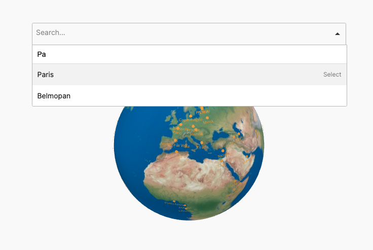
Add a layer of interactive regions, that can be countries or continents and add tooltips and click actions to them.
This feature allows you to create an interactive layer of regions on the globe, whether you’re highlighting countries or continents. Each region can be enhanced with tooltips that display relevant information when hovered over, providing a more engaging and informative experience for users. Additionally, you can define custom click actions for each region, making the globe not only a visual tool but an interactive one. This makes it ideal for applications like geographical data visualization, educational platforms, or any project that benefits from interactive, region-specific content.
The plugins has some builtin maps, like continents and countries and you can use your own geojson region source if needed.