
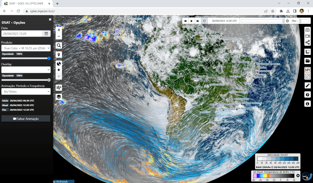
Developed at INPE Weather Satellite Division, DSAT is a web-based application for visualizing satellite data and products: https://www.cptec.inpe.br/dsat/
Our colleague Douglas Uba is the lead developer: https://github.com/uba
He kindly presented the details of how DSAT was developed during the second teleconference of the WMO Regional Data Processing and Visualization Task Force: Link
This week, two new features have been added to DSAT:
- Particles animations: Wind fields from “BAM”, the Brazilian Global Atmospheric Model – Developed at the Center for Weather Forecasting and Climate Research (INPE / CPTEC).
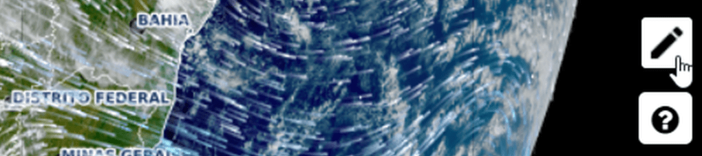
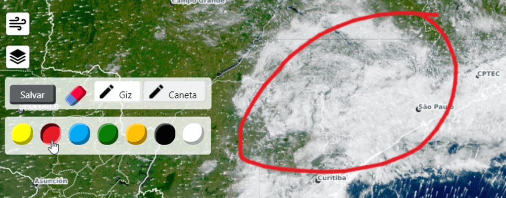
- Drawings: Now users may create drawings in the visualization interface:
Great job by our colleagues at INPE!


