Satellite antenna increases the capabilities of the Uruguayan Air Force

Original article here:

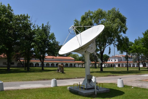
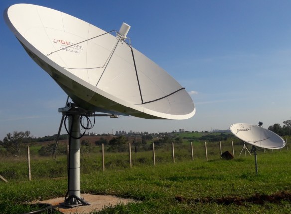
Uruguayan Air Force GEONETCast-Americas antenna
The capabilities of the Uruguayan Air Force have been increased, thanks to the possibility of providing accurate meteorological information through the installation and commissioning of a satellite antenna and the incorporation of the satellite receiver and its associated software, providing very valuable information, both for the aeronautical field and for decision making in other areas.
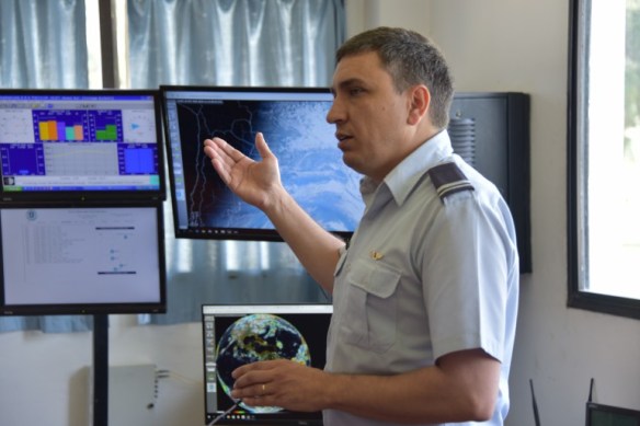
SHOWCast tool showing the GOES-R True Color RGB and the Enhanced ABI Band 13 (below)
This system, called REMIS (Satellite Image Meteorological Receiver), allows satellite images to be obtained through the GEONETCAST system, with the reception of cloud top imagery, detection of electrical discharges, precipitation estimates in the last 24 hours, vegetation index estimation, the sea surface temperature, estimated winds at different levels of the atmosphere, the detection of volcanic ash, synoptic charts, the monitoring of fire / hot spots, among other capabilities.

SHOWCast tool showing the GOES-R Sea Surface Temperature Baseline product and the True Color RGB composite
In this way, the process that had begun at the end of August was completed with the recovery and adaptation of the satellite antenna of the Aerospace Remote Sensing Service, and its subsequent installation, which corresponded to the previous CREPADUR project (Reception Center, Processing , Archive and Distribution of satellite images for Uruguay).
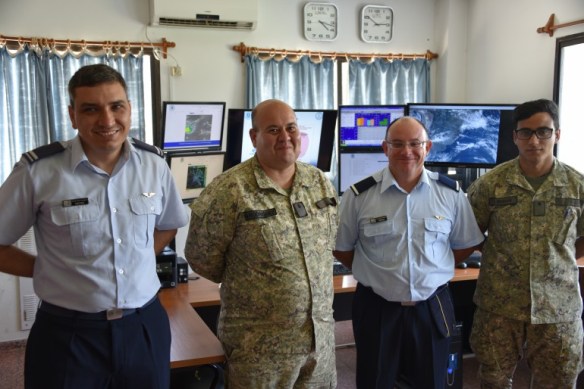
This technological advance, which allows obtaining such relevant data for aeronautical activity, was possible thanks to the collaboration of the Aerospace Remote Sensors Service, the Meteorological Service, the Air Brigade I, the Air Squadron No. 5 and the Communications and Information Technology Service, who worked in a coordinated manner to achieve this new and valuable tool, which will be available soon on the Meteorological Service website and the Uruguayan Air Force website for public access.
In this way, the capacity, experience and expertise of the Uruguayan Air Force personnel is demonstrated once again, which with dedication and creativity lives up to the technological advances in this area.